Lane to Merrymeet
Introduction
The photograph on this page of Lane to Merrymeet by Derek Harper as part of the Geograph project.
The Geograph project started in 2005 with the aim of publishing, organising and preserving representative images for every square kilometre of Great Britain, Ireland and the Isle of Man.

There are currently over 7.5m images from over 14,400 individuals and you can help contribute to the project by visiting https://www.geograph.org.uk
Lane to Merrymeet
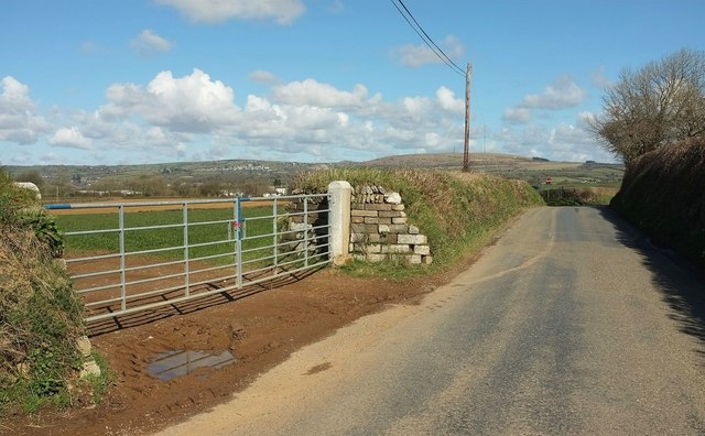
Image: © Derek Harper Taken: 31 Mar 2016
At the top of a rise from Pengover Green, with good views. On the horizon behind the telegraph pole is Caradon Hill; across to the left on the hillside is Darite.
Images are licensed for reuse under creativecommons.org/licenses/by-sa/2.0
Image Location


Leaflet Map data © OpenStreetMap
Latitude
50.464538
Longitude
-4.426812