Upper Norwood Recreation Ground
Introduction
The photograph on this page of Upper Norwood Recreation Ground by Christopher Hilton as part of the Geograph project.
The Geograph project started in 2005 with the aim of publishing, organising and preserving representative images for every square kilometre of Great Britain, Ireland and the Isle of Man.

There are currently over 7.5m images from over 14,400 individuals and you can help contribute to the project by visiting https://www.geograph.org.uk
Upper Norwood Recreation Ground
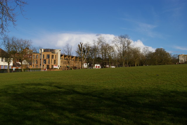
Image: © Christopher Hilton Taken: 28 Mar 2016
Taken from the Capital Ring path. The block of flats a little to the left of centre marks the site of the former church of St Margaret, declared redundant in 2003 and subsequently demolished: the church can be seen in Image
Images are licensed for reuse under creativecommons.org/licenses/by-sa/2.0
Image Location
Latitude
51.418051
Longitude
-0.091165