Greendale Road, Port Sunlight
Introduction
The photograph on this page of Greendale Road, Port Sunlight by Graham Robson as part of the Geograph project.
The Geograph project started in 2005 with the aim of publishing, organising and preserving representative images for every square kilometre of Great Britain, Ireland and the Isle of Man.

There are currently over 7.5m images from over 14,400 individuals and you can help contribute to the project by visiting https://www.geograph.org.uk
Greendale Road, Port Sunlight
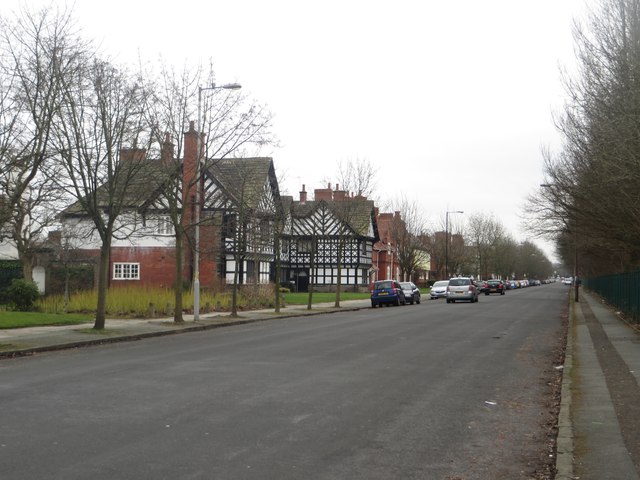
Image: © Graham Robson Taken: 12 Mar 2016
Looking along a wide residential street in Port Sunlight village. To the left are houses, on the right is the embankment upon which the Mersey Rail line connecting Birkenhead and Chester runs.
Images are licensed for reuse under creativecommons.org/licenses/by-sa/2.0
Image Location
Latitude
53.355691
Longitude
-3.001635