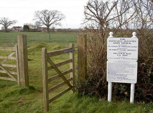
BMX track
Introduction
The photograph on this page of BMX track by Neil Owen as part of the Geograph project.
The Geograph project started in 2005 with the aim of publishing, organising and preserving representative images for every square kilometre of Great Britain, Ireland and the Isle of Man.
There are currently over 7.5m images from over 14,400 individuals and you can help contribute to the project by visiting https://www.geograph.org.uk

Image: © Neil Owen Taken: 30 Mar 2016
A little story about this track: three young villagers, 14-year-old Josh, 12-year-old Ben and 10-year-old Eleanor Hobbs wrote to the local council tentatively asking for a BMX track to be provided. However, the idea was approved and brought about an unusual response. The planned track was built with much local help and efforts - all helping to reduce the actual cost to the council. In the end, it required £4,000 - much less than using outside contractors. The land was part of late farmer Richard Jeffery's farm and his son and daughter-in-law donated the space, which now commemorates him. Hearing about the villagers involvement, Prime Minister David Cameron wrote to congratulate the work.

