Ham Lane
Introduction
The photograph on this page of Ham Lane by Neil Owen as part of the Geograph project.
The Geograph project started in 2005 with the aim of publishing, organising and preserving representative images for every square kilometre of Great Britain, Ireland and the Isle of Man.

There are currently over 7.5m images from over 14,400 individuals and you can help contribute to the project by visiting https://www.geograph.org.uk
Ham Lane
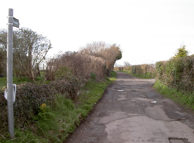
Image: © Neil Owen Taken: 30 Mar 2016
A byway, leading past farms and joining up with Green Lane and then to White Cross.
Images are licensed for reuse under creativecommons.org/licenses/by-sa/2.0
Image Location
Latitude
51.30001
Longitude
-2.534963