The foot of the Shallcross Incline
Introduction
The photograph on this page of The foot of the Shallcross Incline by Raymond Knapman as part of the Geograph project.
The Geograph project started in 2005 with the aim of publishing, organising and preserving representative images for every square kilometre of Great Britain, Ireland and the Isle of Man.

There are currently over 7.5m images from over 14,400 individuals and you can help contribute to the project by visiting https://www.geograph.org.uk
The foot of the Shallcross Incline
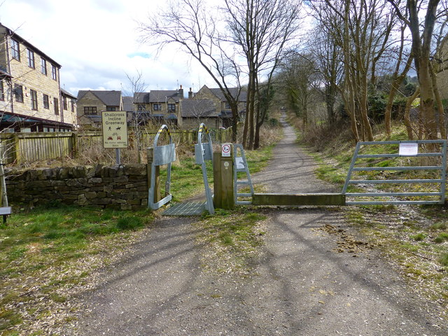
Image: © Raymond Knapman Taken: 30 Mar 2016
Now used as a recreation pathway this was an incline on the Cromford and High Peak Railway and worked by stationary engines first by chain then by wire rope.
Images are licensed for reuse under creativecommons.org/licenses/by-sa/2.0
Image Location
Latitude
53.320255
Longitude
-1.981946