Village hall and playing fields
Introduction
The photograph on this page of Village hall and playing fields by Neil Owen as part of the Geograph project.
The Geograph project started in 2005 with the aim of publishing, organising and preserving representative images for every square kilometre of Great Britain, Ireland and the Isle of Man.

There are currently over 7.5m images from over 14,400 individuals and you can help contribute to the project by visiting https://www.geograph.org.uk
Village hall and playing fields
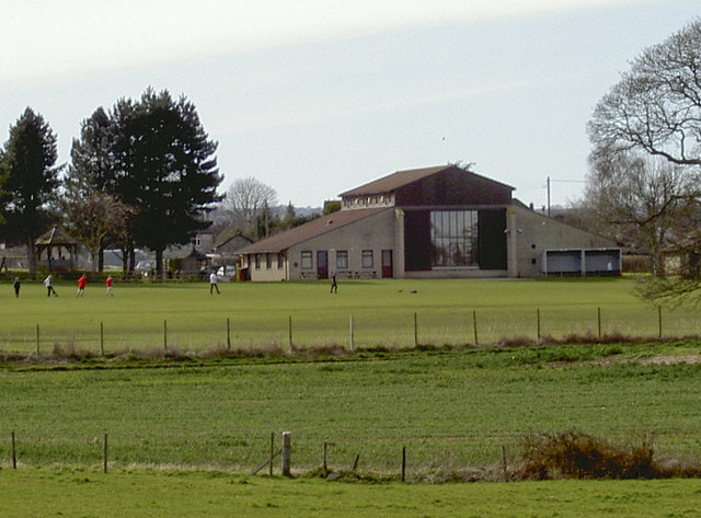
Image: © Neil Owen Taken: 30 Mar 2016
Some time after school for a bit of footy on the playing fields in front of Farrington Gurney's impressive hall.
Images are licensed for reuse under creativecommons.org/licenses/by-sa/2.0
Image Location
Latitude
51.299312
Longitude
-2.530365