Lime Avenue Spinney Lane Livermere
Introduction
The photograph on this page of Lime Avenue Spinney Lane Livermere by Nick Balmer as part of the Geograph project.
The Geograph project started in 2005 with the aim of publishing, organising and preserving representative images for every square kilometre of Great Britain, Ireland and the Isle of Man.

There are currently over 7.5m images from over 14,400 individuals and you can help contribute to the project by visiting https://www.geograph.org.uk
Lime Avenue Spinney Lane Livermere
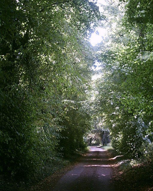
Image: © Nick Balmer Taken: Unknown
Inside the avenue of time trees planted shortly before 1799 leading to Heath Farm.
Images are licensed for reuse under creativecommons.org/licenses/by-sa/2.0
Image Location


Leaflet Map data © OpenStreetMap
Latitude
52.322474
Longitude
0.740258