Clearing the view
Introduction
The photograph on this page of Clearing the view by Richard Sutcliffe as part of the Geograph project.
The Geograph project started in 2005 with the aim of publishing, organising and preserving representative images for every square kilometre of Great Britain, Ireland and the Isle of Man.

There are currently over 7.5m images from over 14,400 individuals and you can help contribute to the project by visiting https://www.geograph.org.uk
Clearing the view
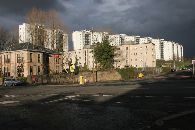
Image: © Richard Sutcliffe Taken: 29 Mar 2016
The trees are being trimmed back prior to complete felling at the corner of Berryknowes Road and Berryknowes Avenue. When the last tree is removed there should be an uninterrupted view from Berryknowes Road to the flats on Mossview Quadrant, and the higher flats on Mossheights Avenue behind.
Images are licensed for reuse under creativecommons.org/licenses/by-sa/2.0
Image Location
Latitude
55.847497
Longitude
-4.342624