Warstone Hill Road Bend
Introduction
The photograph on this page of Warstone Hill Road Bend by Gordon Griffiths as part of the Geograph project.
The Geograph project started in 2005 with the aim of publishing, organising and preserving representative images for every square kilometre of Great Britain, Ireland and the Isle of Man.

There are currently over 7.5m images from over 14,400 individuals and you can help contribute to the project by visiting https://www.geograph.org.uk
Warstone Hill Road Bend
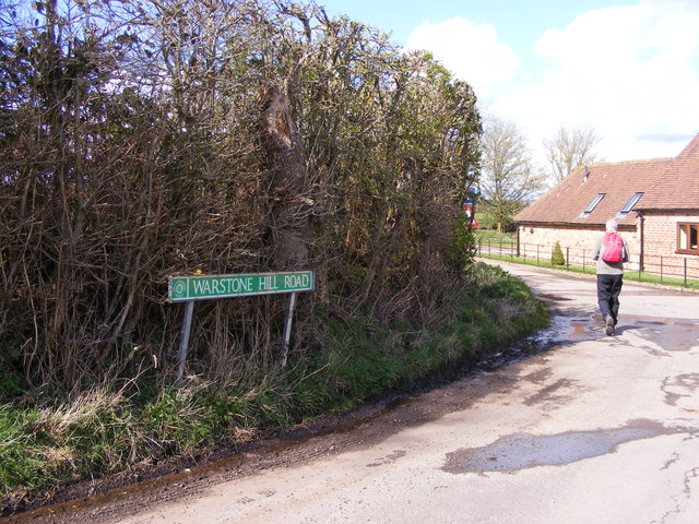
Image: © Gordon Griffiths Taken: 30 Mar 2016
The view of the bend as Warstone Hill Road joins the Hollies lane at Nurton.
Images are licensed for reuse under creativecommons.org/licenses/by-sa/2.0
Image Location
Latitude
52.596199
Longitude
-2.240594