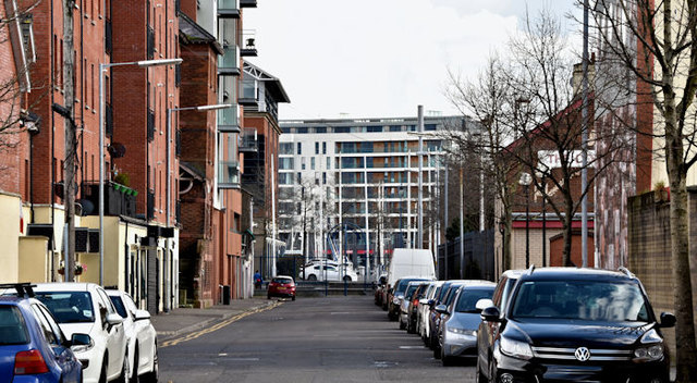
Pilot Street, Belfast (March 2016)
Introduction
The photograph on this page of Pilot Street, Belfast (March 2016) by Albert Bridge as part of the Geograph project.
The Geograph project started in 2005 with the aim of publishing, organising and preserving representative images for every square kilometre of Great Britain, Ireland and the Isle of Man.
There are currently over 7.5m images from over 14,400 individuals and you can help contribute to the project by visiting https://www.geograph.org.uk

Image: © Albert Bridge Taken: 30 Mar 2016
Pilot Street from Garmoyle Street/Corporation Street looking very similar to this view Image in February 2010. On 29 March 2016 the Department for Social Development published a draft Sailortown Masterplan for consultation “The Draft Masterplan has been created to provide an overarching framework for the future development of Sailortown - an exciting future destination adjacent to City Quays north of Belfast City Centre.” I have no connection with the Department and cannot enter into correspondence.

