Tannoch Loch
Introduction
The photograph on this page of Tannoch Loch by Richard Sutcliffe as part of the Geograph project.
The Geograph project started in 2005 with the aim of publishing, organising and preserving representative images for every square kilometre of Great Britain, Ireland and the Isle of Man.

There are currently over 7.5m images from over 14,400 individuals and you can help contribute to the project by visiting https://www.geograph.org.uk
Tannoch Loch
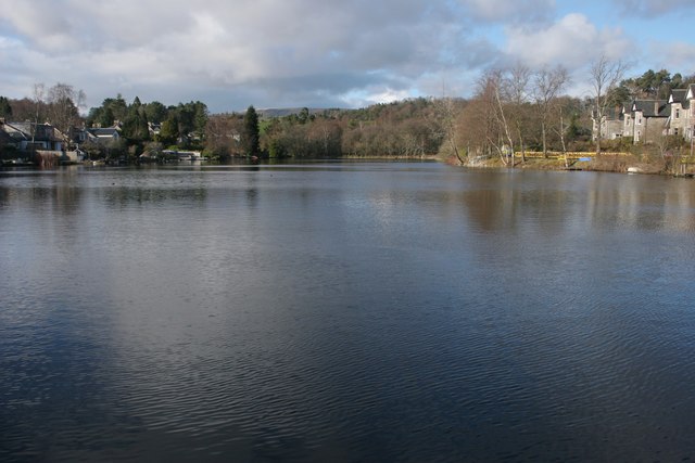
Image: © Richard Sutcliffe Taken: 28 Mar 2016
The loch dates from 1895, when a dam was built to hold back the Tannoch Burn, and create a shallow body of water. This then provided a steady supply of water to power a small hydro-electric scheme in Milngavie. See http://www.tannochloch.co.uk/history.html
Images are licensed for reuse under creativecommons.org/licenses/by-sa/2.0
Image Location
Latitude
55.948939
Longitude
-4.315593