Twinned with Atlantis
Introduction
The photograph on this page of Twinned with Atlantis by Neil Owen as part of the Geograph project.
The Geograph project started in 2005 with the aim of publishing, organising and preserving representative images for every square kilometre of Great Britain, Ireland and the Isle of Man.

There are currently over 7.5m images from over 14,400 individuals and you can help contribute to the project by visiting https://www.geograph.org.uk
Twinned with Atlantis
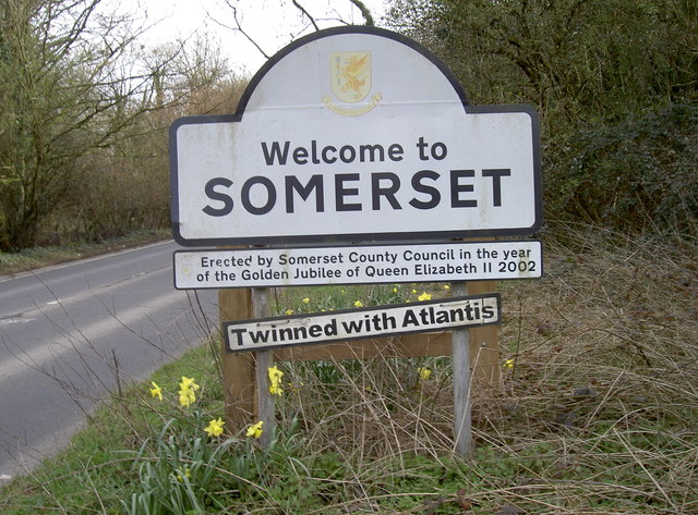
Image: © Neil Owen Taken: 30 Mar 2016
The severely wet winter of 2013-14 is long gone now, despite the recent winter being pretty wet itself, but the memory of parts of Somerset being underwater is still one that lingers. Local humour is notable for being on the steep Rush Hill, well away from the Levels.
Images are licensed for reuse under creativecommons.org/licenses/by-sa/2.0
Image Location


Leaflet Map data © OpenStreetMap
Latitude
51.295069
Longitude
-2.534045