Croome Kennels
Introduction
The photograph on this page of Croome Kennels by Philip Halling as part of the Geograph project.
The Geograph project started in 2005 with the aim of publishing, organising and preserving representative images for every square kilometre of Great Britain, Ireland and the Isle of Man.

There are currently over 7.5m images from over 14,400 individuals and you can help contribute to the project by visiting https://www.geograph.org.uk
Croome Kennels
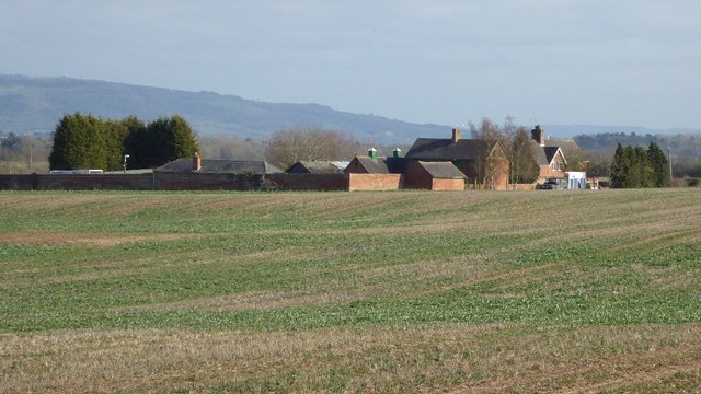
Image: © Philip Halling Taken: 20 Mar 2016
Croome Kennels on Kennel Bank viewed here from the passing road. These buildings are part of the Croome estate, though cut off from Croome Park by the M5 motorway.
Images are licensed for reuse under creativecommons.org/licenses/by-sa/2.0
Image Location


Leaflet Map data © OpenStreetMap
Latitude
52.097243
Longitude
-2.192499