Chapel Street/Trinity Way junction
Introduction
The photograph on this page of Chapel Street/Trinity Way junction by Bradley Michael as part of the Geograph project.
The Geograph project started in 2005 with the aim of publishing, organising and preserving representative images for every square kilometre of Great Britain, Ireland and the Isle of Man.

There are currently over 7.5m images from over 14,400 individuals and you can help contribute to the project by visiting https://www.geograph.org.uk
Chapel Street/Trinity Way junction
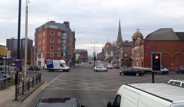
Image: © Bradley Michael Taken: 16 Feb 2016
Looking towards Chapel Street westwards. It is one of the city's busiest junctions, linking Salford to Manchester.
Images are licensed for reuse under creativecommons.org/licenses/by-sa/2.0
Image Location
Latitude
53.483301
Longitude
-2.257494