The northern section of Newcastle's Main Street
Introduction
The photograph on this page of The northern section of Newcastle's Main Street by Eric Jones as part of the Geograph project.
The Geograph project started in 2005 with the aim of publishing, organising and preserving representative images for every square kilometre of Great Britain, Ireland and the Isle of Man.

There are currently over 7.5m images from over 14,400 individuals and you can help contribute to the project by visiting https://www.geograph.org.uk
The northern section of Newcastle's Main Street
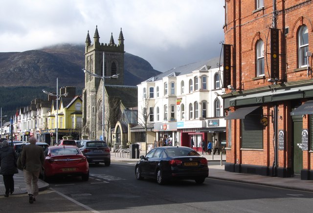
Image: © Eric Jones Taken: 28 Mar 2016
The church with the tower is the Newcastle Presbyterian Church. Slieve Donard towers above the town.
Images are licensed for reuse under creativecommons.org/licenses/by-sa/2.0
Image Location
Latitude
54.213747
Longitude
-5.889061