Close Up of the Bethersden Village Sign
Introduction
The photograph on this page of Close Up of the Bethersden Village Sign by David Hillas as part of the Geograph project.
The Geograph project started in 2005 with the aim of publishing, organising and preserving representative images for every square kilometre of Great Britain, Ireland and the Isle of Man.

There are currently over 7.5m images from over 14,400 individuals and you can help contribute to the project by visiting https://www.geograph.org.uk
Close Up of the Bethersden Village Sign
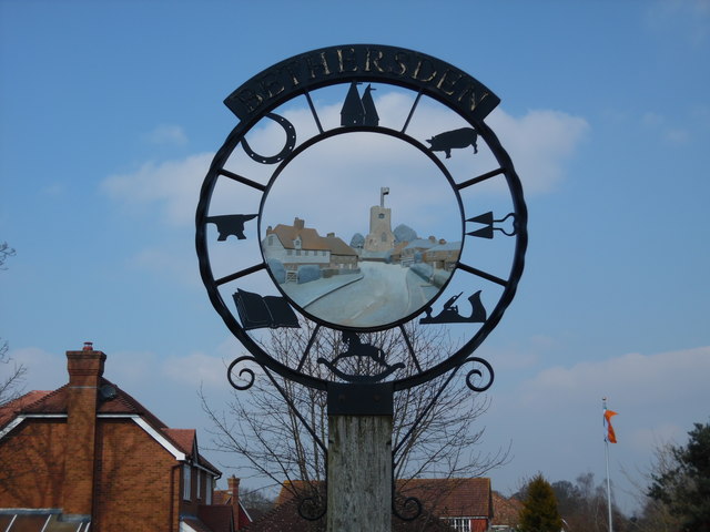
Image: © David Hillas Taken: 17 Mar 2016
This photo shows the eight symbols round the sign with St Margaret's Parish Church and a few houses in its centre.
Images are licensed for reuse under creativecommons.org/licenses/by-sa/2.0
Image Location
Latitude
51.126122
Longitude
0.749439