The 'Black and White Farm'
Introduction
The photograph on this page of The 'Black and White Farm' by John M as part of the Geograph project.
The Geograph project started in 2005 with the aim of publishing, organising and preserving representative images for every square kilometre of Great Britain, Ireland and the Isle of Man.

There are currently over 7.5m images from over 14,400 individuals and you can help contribute to the project by visiting https://www.geograph.org.uk
The 'Black and White Farm'
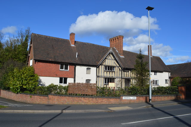
Image: © John M Taken: 28 Mar 2016
Restored in the 1980s by Wolverhampton Council as part of the Northycote Country Park. Until the road was re-graded this marked the start of a wicked but relatively short climb now reduced to a drag past the Crematorium on Bushbury Hill.
Images are licensed for reuse under creativecommons.org/licenses/by-sa/2.0
Image Location
Latitude
52.626512
Longitude
-2.105733