Baxter Road
Introduction
The photograph on this page of Baxter Road by Gordon Griffiths as part of the Geograph project.
The Geograph project started in 2005 with the aim of publishing, organising and preserving representative images for every square kilometre of Great Britain, Ireland and the Isle of Man.

There are currently over 7.5m images from over 14,400 individuals and you can help contribute to the project by visiting https://www.geograph.org.uk
Baxter Road
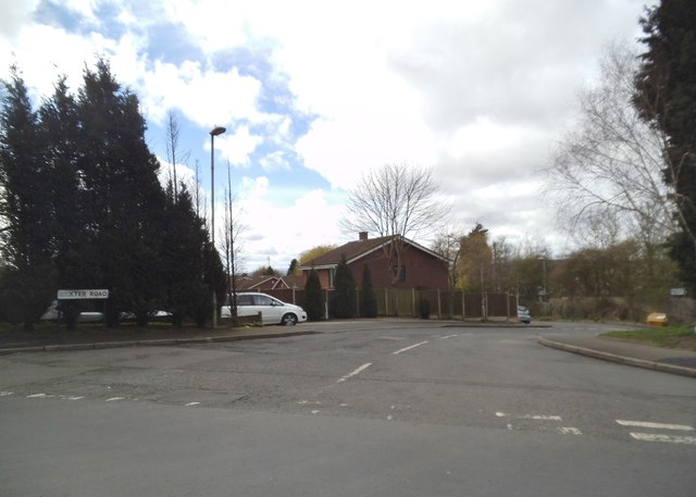
Image: © Gordon Griffiths Taken: 28 Mar 2016
The view off North Street near to Brierley Hill town.
Images are licensed for reuse under creativecommons.org/licenses/by-sa/2.0
Image Location
Latitude
52.479056
Longitude
-2.128495