Long Lane, Dry Doddington
Introduction
The photograph on this page of Long Lane, Dry Doddington by Jonathan Thacker as part of the Geograph project.
The Geograph project started in 2005 with the aim of publishing, organising and preserving representative images for every square kilometre of Great Britain, Ireland and the Isle of Man.

There are currently over 7.5m images from over 14,400 individuals and you can help contribute to the project by visiting https://www.geograph.org.uk
Long Lane, Dry Doddington
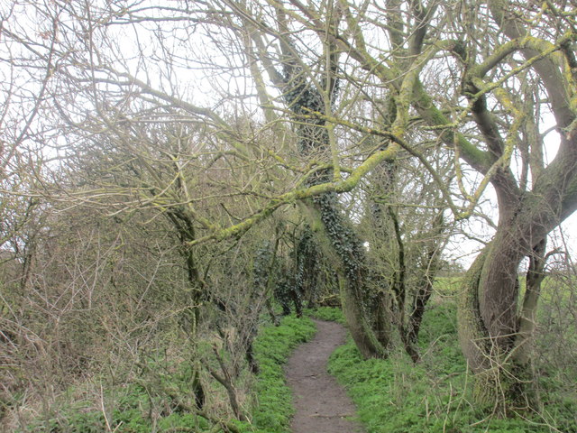
Image: © Jonathan Thacker Taken: 28 Mar 2016
At the east end just a narrow but well used footpath.
Images are licensed for reuse under creativecommons.org/licenses/by-sa/2.0
Image Location
Latitude
53.011789
Longitude
-0.727985