Farm buildings in Trenear
Introduction
The photograph on this page of Farm buildings in Trenear by David Smith as part of the Geograph project.
The Geograph project started in 2005 with the aim of publishing, organising and preserving representative images for every square kilometre of Great Britain, Ireland and the Isle of Man.

There are currently over 7.5m images from over 14,400 individuals and you can help contribute to the project by visiting https://www.geograph.org.uk
Farm buildings in Trenear
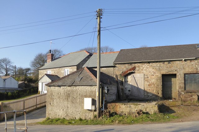
Image: © David Smith Taken: 14 Mar 2016
On the Victorian OS map, this was a smithy
Images are licensed for reuse under creativecommons.org/licenses/by-sa/2.0
Image Location
Latitude
50.137415
Longitude
-5.246613