Angelgate Development
Introduction
The photograph on this page of Angelgate Development by Peter McDermott as part of the Geograph project.
The Geograph project started in 2005 with the aim of publishing, organising and preserving representative images for every square kilometre of Great Britain, Ireland and the Isle of Man.

There are currently over 7.5m images from over 14,400 individuals and you can help contribute to the project by visiting https://www.geograph.org.uk
Angelgate Development
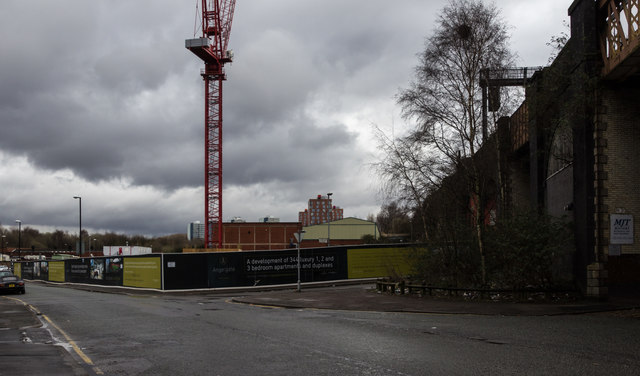
Image: © Peter McDermott Taken: 28 Mar 2016
The stalled 'Angelgate' development on Dantzic Street in Manchester. The developer is Pinnacle, architect is BLOK and the builder was PHD1 construction although they no longer seem to be associated with the project.
Images are licensed for reuse under creativecommons.org/licenses/by-sa/2.0
Image Location
Latitude
53.490447
Longitude
-2.235382