Marshchapel and the West: aerial 2016
Introduction
The photograph on this page of Marshchapel and the West: aerial 2016 by Chris as part of the Geograph project.
The Geograph project started in 2005 with the aim of publishing, organising and preserving representative images for every square kilometre of Great Britain, Ireland and the Isle of Man.

There are currently over 7.5m images from over 14,400 individuals and you can help contribute to the project by visiting https://www.geograph.org.uk
Marshchapel and the West: aerial 2016
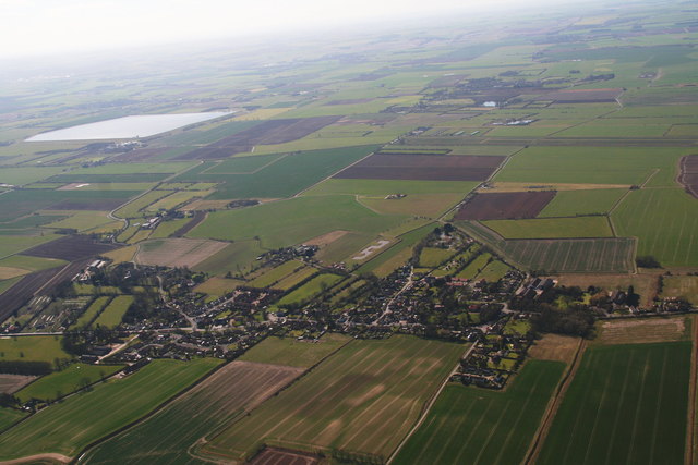
Image: © Chris Taken: 25 Mar 2016
One in a sequence of shots. For next see Image For opposite direction shots see Image] and Image The A1031 coast road, horizontal on the shot, follows the line of an old sea bank along this stretch (Sea Dyke Way). A maze of roads and tracks above (west of) the village lead towards the Louth Navigation (disused), with only a bridleway bridge across to the rest of the world, and a left turn to the road bridge further south by the reservoir.
Images are licensed for reuse under creativecommons.org/licenses/by-sa/2.0
Image Location


Leaflet Map data © OpenStreetMap
Latitude
53.473262
Longitude
0.045778