Shortwood Road houses, Pucklechurch
Introduction
The photograph on this page of Shortwood Road houses, Pucklechurch by Jaggery as part of the Geograph project.
The Geograph project started in 2005 with the aim of publishing, organising and preserving representative images for every square kilometre of Great Britain, Ireland and the Isle of Man.

There are currently over 7.5m images from over 14,400 individuals and you can help contribute to the project by visiting https://www.geograph.org.uk
Shortwood Road houses, Pucklechurch
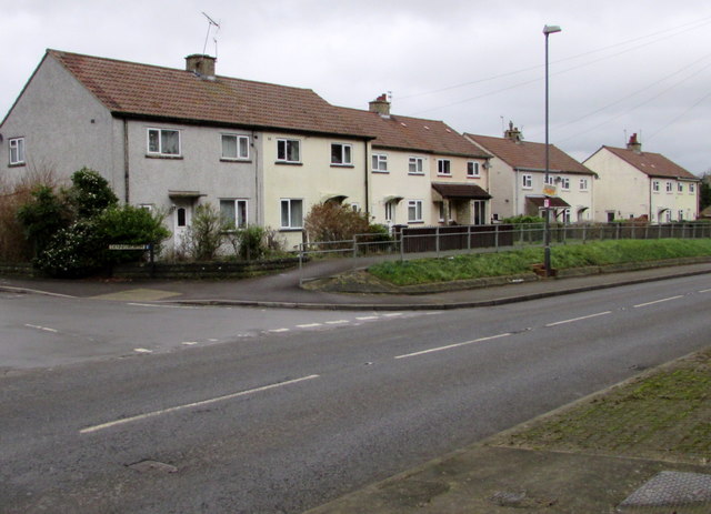
Image: © Jaggery Taken: 5 Feb 2016
Accessed via a pavement slightly above the level of Shortwood Road, the houses are between the corner of Dennisworth (on the left) and Homefield Road.
Images are licensed for reuse under creativecommons.org/licenses/by-sa/2.0
Image Location
Latitude
51.484205
Longitude
-2.43746