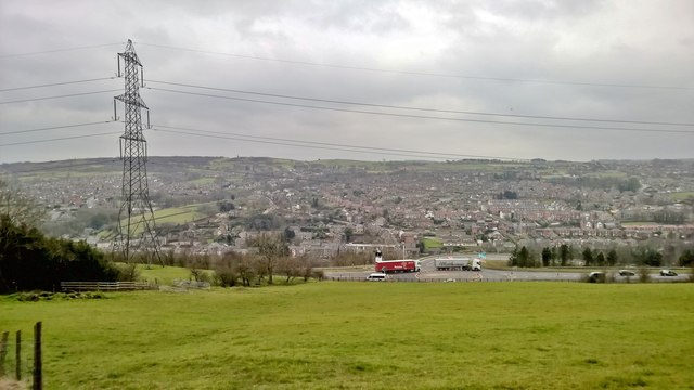
View over A616 and Stocksbridge
Introduction
The photograph on this page of View over A616 and Stocksbridge by Chris Morgan as part of the Geograph project.
The Geograph project started in 2005 with the aim of publishing, organising and preserving representative images for every square kilometre of Great Britain, Ireland and the Isle of Man.
There are currently over 7.5m images from over 14,400 individuals and you can help contribute to the project by visiting https://www.geograph.org.uk

Image: © Chris Morgan Taken: 21 Mar 2016
From Park Lane on the Barnsley Boundary Walk. Stocksbridge on the southern side of the Little Don valley is in Sheffield, but the picture is taken from the Barnsley northern side. The A616 is the Woodhead route taking traffic from the M1 towards Glossop and the M56. It has recently been suggetsed that this road should be made into a motorway, mostly in a long tunnel beneath the Pennines starting not too far to the right of this point. It would relieve the weather sensitive M62. As seen here a lot of heavy traffic already uses this route.

