Grainthorpe and across Grainthorpe Fen towards Yarburgh: aerial 2016
Introduction
The photograph on this page of Grainthorpe and across Grainthorpe Fen towards Yarburgh: aerial 2016 by Chris as part of the Geograph project.
The Geograph project started in 2005 with the aim of publishing, organising and preserving representative images for every square kilometre of Great Britain, Ireland and the Isle of Man.

There are currently over 7.5m images from over 14,400 individuals and you can help contribute to the project by visiting https://www.geograph.org.uk
Grainthorpe and across Grainthorpe Fen towards Yarburgh: aerial 2016
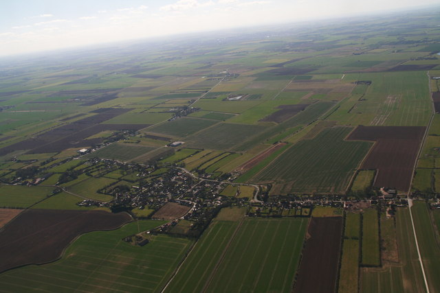
Image: © Chris Taken: 25 Mar 2016
One in a sequence of shots. For next see Image] and Image For opposite direction shots see Image] and Image Fen Lane, left leads Austen fen on the Louth Navigation (disused) and then to Yarurgh. Parallel, next to the bright green strip, is Biergate, a public R.O.W. Parallel, on the extreme right, is Ivy Lane.
Images are licensed for reuse under creativecommons.org/licenses/by-sa/2.0
Image Location
Latitude
53.452028
Longitude
0.083162