A derelict building near Flintham, Nottinghamshire
Introduction
The photograph on this page of A derelict building near Flintham, Nottinghamshire by Oliver Mills as part of the Geograph project.
The Geograph project started in 2005 with the aim of publishing, organising and preserving representative images for every square kilometre of Great Britain, Ireland and the Isle of Man.

There are currently over 7.5m images from over 14,400 individuals and you can help contribute to the project by visiting https://www.geograph.org.uk
A derelict building near Flintham, Nottinghamshire
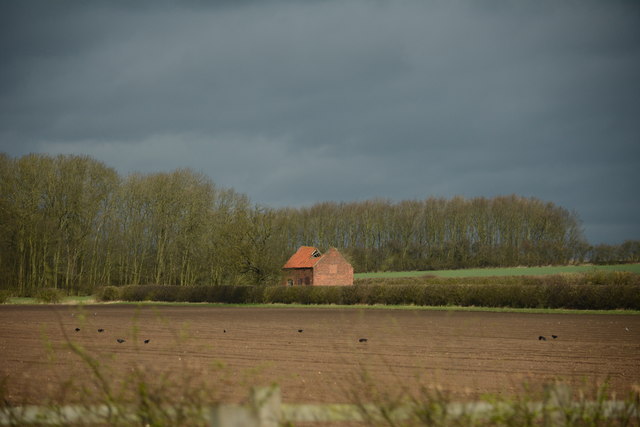
Image: © Oliver Mills Taken: 27 Mar 2016
Located south of the RAF Syerston airfield. Taken from the A46.
Images are licensed for reuse under creativecommons.org/licenses/by-sa/2.0
Image Location
Latitude
53.010782
Longitude
-0.91686