Southern boundary of Bynea
Introduction
The photograph on this page of Southern boundary of Bynea by Jaggery as part of the Geograph project.
The Geograph project started in 2005 with the aim of publishing, organising and preserving representative images for every square kilometre of Great Britain, Ireland and the Isle of Man.

There are currently over 7.5m images from over 14,400 individuals and you can help contribute to the project by visiting https://www.geograph.org.uk
Southern boundary of Bynea
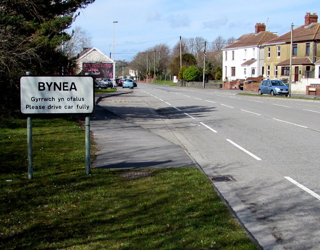
Image: © Jaggery Taken: 25 Mar 2016
The sign faces the B4297. A missing letter e has changed Please drive carefully to Please drive car fully.
Images are licensed for reuse under creativecommons.org/licenses/by-sa/2.0
Image Location
Latitude
51.666374
Longitude
-4.09081