Field of broad beans
Introduction
The photograph on this page of Field of broad beans by Philip Halling as part of the Geograph project.
The Geograph project started in 2005 with the aim of publishing, organising and preserving representative images for every square kilometre of Great Britain, Ireland and the Isle of Man.

There are currently over 7.5m images from over 14,400 individuals and you can help contribute to the project by visiting https://www.geograph.org.uk
Field of broad beans
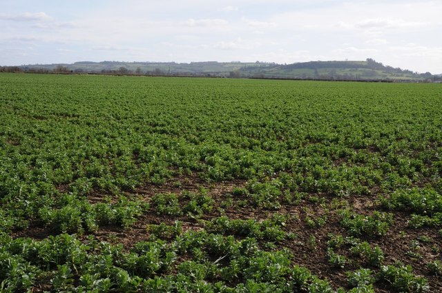
Image: © Philip Halling Taken: 25 Mar 2016
Field of broad beans in a field to the north of Lower Quinton. Ilmington Down, on the left, and Meon Hill on the right can be seen in the background, hills which are part of the Cotswold Hills but both are unusual in that they are in Warwickshire. Ilmington Down is the highest point in Warwickshire.
Images are licensed for reuse under creativecommons.org/licenses/by-sa/2.0
Image Location
Latitude
52.136764
Longitude
-1.740615