Freemasons' Garden
Introduction
The photograph on this page of Freemasons' Garden by Peter Trimming as part of the Geograph project.
The Geograph project started in 2005 with the aim of publishing, organising and preserving representative images for every square kilometre of Great Britain, Ireland and the Isle of Man.

There are currently over 7.5m images from over 14,400 individuals and you can help contribute to the project by visiting https://www.geograph.org.uk
Freemasons' Garden
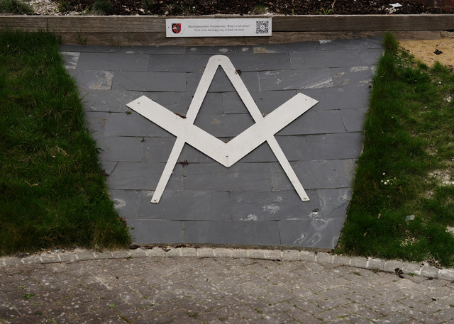
Image: © Peter Trimming Taken: 23 Mar 2016
Located beside High Wycombe railway station, the garden was created in 2013 and is maintained by members from 21 lodges. The Freemason symbol is flanked by grass banks and flower beds.
Images are licensed for reuse under creativecommons.org/licenses/by-sa/2.0
Image Location
Latitude
51.630021
Longitude
-0.74677