The Fife Coastal Path
Introduction
The photograph on this page of The Fife Coastal Path by Frank Smith as part of the Geograph project.
The Geograph project started in 2005 with the aim of publishing, organising and preserving representative images for every square kilometre of Great Britain, Ireland and the Isle of Man.

There are currently over 7.5m images from over 14,400 individuals and you can help contribute to the project by visiting https://www.geograph.org.uk
The Fife Coastal Path
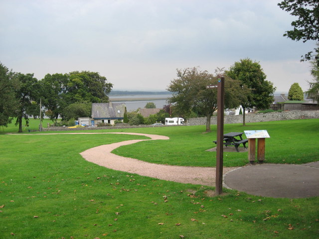
Image: © Frank Smith Taken: 3 Sep 2014
This marks the end of the path in Mugdrum Park, Newburgh or conversley the start if one's tackling the walk in a clockwise direction.
Images are licensed for reuse under creativecommons.org/licenses/by-sa/2.0
Image Location
Latitude
56.349391
Longitude
-3.248766