Green Walk Cottage near Milton Abbey, 1967
Introduction
The photograph on this page of Green Walk Cottage near Milton Abbey, 1967 by Ben Brooksbank as part of the Geograph project.
The Geograph project started in 2005 with the aim of publishing, organising and preserving representative images for every square kilometre of Great Britain, Ireland and the Isle of Man.

There are currently over 7.5m images from over 14,400 individuals and you can help contribute to the project by visiting https://www.geograph.org.uk
Green Walk Cottage near Milton Abbey, 1967
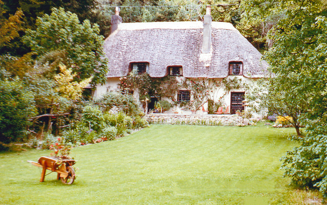
Image: © Ben Brooksbank Taken: 8 Jun 1967
One that was left when the rest of the village of Middleton was redeveloped (and called Milton Abbas) in 1780 by Joseph Damer (first Earl of Dorchester) to the designs of Sir William Chambers and 'Capability' Brown.
Images are licensed for reuse under creativecommons.org/licenses/by-sa/2.0
Image Location


Leaflet Map data © OpenStreetMap
Latitude
50.819804
Longitude
-2.285427