The old A10 near High Cross
Introduction
The photograph on this page of The old A10 near High Cross by Bikeboy as part of the Geograph project.
The Geograph project started in 2005 with the aim of publishing, organising and preserving representative images for every square kilometre of Great Britain, Ireland and the Isle of Man.

There are currently over 7.5m images from over 14,400 individuals and you can help contribute to the project by visiting https://www.geograph.org.uk
The old A10 near High Cross
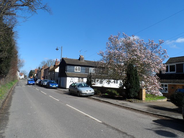
Image: © Bikeboy Taken: 25 Mar 2016
The new A10 runs parallel and was opened in the early 90's. Spring time and the magnolia tree is coming into flower.
Images are licensed for reuse under creativecommons.org/licenses/by-sa/2.0
Image Location
Latitude
51.847048
Longitude
-0.023996