Houses and abandoned allotments
Introduction
The photograph on this page of Houses and abandoned allotments by John Winder as part of the Geograph project.
The Geograph project started in 2005 with the aim of publishing, organising and preserving representative images for every square kilometre of Great Britain, Ireland and the Isle of Man.

There are currently over 7.5m images from over 14,400 individuals and you can help contribute to the project by visiting https://www.geograph.org.uk
Houses and abandoned allotments
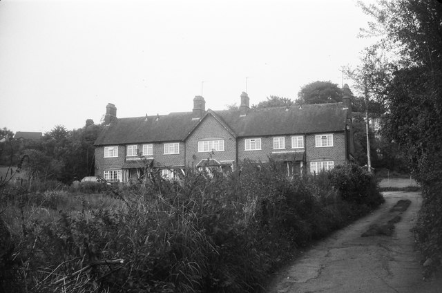
Image: © John Winder Taken: Unknown
The overgrown area in the left foreground was formerly used as allotments, now abandoned and earmarked for a housing development. Shot on film using a Braun Paxette.
Images are licensed for reuse under creativecommons.org/licenses/by-sa/2.0
Image Location
Latitude
51.919285
Longitude
-2.583735