Houses at Slades Wood
Introduction
The photograph on this page of Houses at Slades Wood by Nigel Mykura as part of the Geograph project.
The Geograph project started in 2005 with the aim of publishing, organising and preserving representative images for every square kilometre of Great Britain, Ireland and the Isle of Man.

There are currently over 7.5m images from over 14,400 individuals and you can help contribute to the project by visiting https://www.geograph.org.uk
Houses at Slades Wood
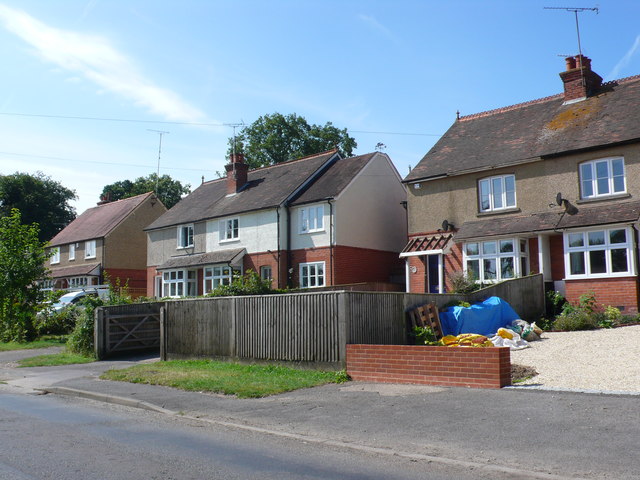
Image: © Nigel Mykura Taken: 27 Jul 2014
These semi detached red brick built pebble dashed houses dating from the 1930's are on the west side of the B481 Peppard Rd
Images are licensed for reuse under creativecommons.org/licenses/by-sa/2.0
Image Location
Latitude
51.517158
Longitude
-0.976862