East Knitsley Grange
Introduction
The photograph on this page of East Knitsley Grange by Robert Graham as part of the Geograph project.
The Geograph project started in 2005 with the aim of publishing, organising and preserving representative images for every square kilometre of Great Britain, Ireland and the Isle of Man.

There are currently over 7.5m images from over 14,400 individuals and you can help contribute to the project by visiting https://www.geograph.org.uk
East Knitsley Grange
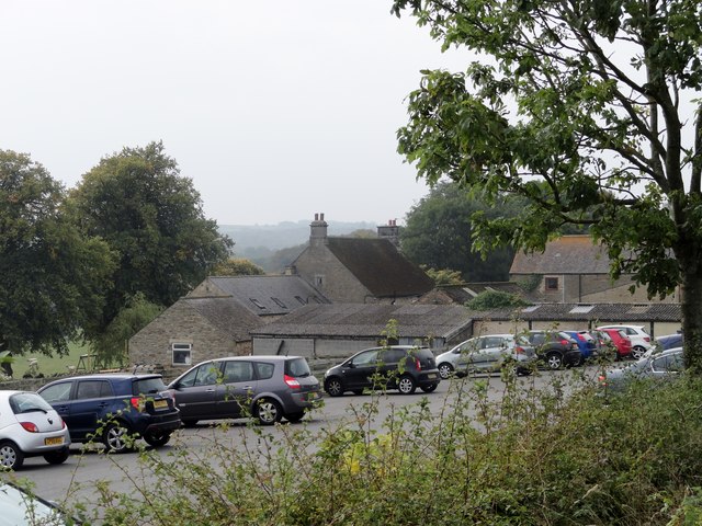
Image: © Robert Graham Taken: 21 Sep 2014
This farm runs a successful farm shop, hence the busy car park.
Images are licensed for reuse under creativecommons.org/licenses/by-sa/2.0
Image Location
Latitude
54.831001
Longitude
-1.808652