Former pub, Nottingham Road
Introduction
The photograph on this page of Former pub, Nottingham Road by Robin Webster as part of the Geograph project.
The Geograph project started in 2005 with the aim of publishing, organising and preserving representative images for every square kilometre of Great Britain, Ireland and the Isle of Man.

There are currently over 7.5m images from over 14,400 individuals and you can help contribute to the project by visiting https://www.geograph.org.uk
Former pub, Nottingham Road
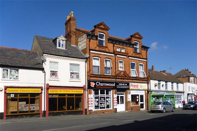
Image: © Robin Webster Taken: 25 Mar 2016
The stonework above the main door bears the date 1887. Painted on the wall at the top is what looks like ' The Stag & Pheasant Home Ales'.
Images are licensed for reuse under creativecommons.org/licenses/by-sa/2.0
Image Location
Latitude
52.774718
Longitude
-1.201121