Steeple Morden: Brook End
Introduction
The photograph on this page of Steeple Morden: Brook End by John Sutton as part of the Geograph project.
The Geograph project started in 2005 with the aim of publishing, organising and preserving representative images for every square kilometre of Great Britain, Ireland and the Isle of Man.

There are currently over 7.5m images from over 14,400 individuals and you can help contribute to the project by visiting https://www.geograph.org.uk
Steeple Morden: Brook End
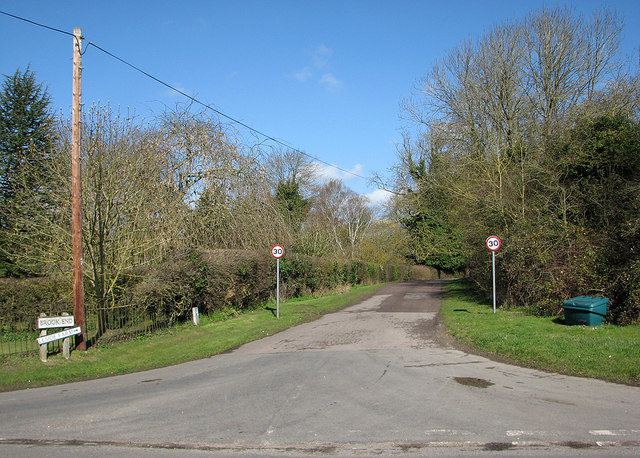
Image: © John Sutton Taken: 25 Mar 2016
Cheyney Street to the left, Litlington Road to the right, Hillside Farm ahead.
Images are licensed for reuse under creativecommons.org/licenses/by-sa/2.0
Image Location
Latitude
52.066813
Longitude
-0.117313