Manchester Ship Canal
Introduction
The photograph on this page of Manchester Ship Canal by andy as part of the Geograph project.
The Geograph project started in 2005 with the aim of publishing, organising and preserving representative images for every square kilometre of Great Britain, Ireland and the Isle of Man.

There are currently over 7.5m images from over 14,400 individuals and you can help contribute to the project by visiting https://www.geograph.org.uk
Manchester Ship Canal
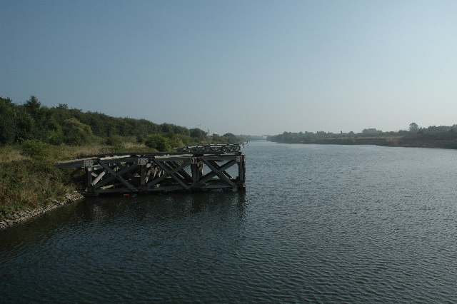
Image: © andy Taken: 4 Sep 2005
This view was taken while standing on one of the mooring jetties (SJ 56608 84923) protruding into the Manchester Ship Canal near Moore, Warrington. This view was looking WNW as the canal makes its way inland towards Manchester.
Images are licensed for reuse under creativecommons.org/licenses/by-sa/2.0
Image Location
Latitude
53.359392
Longitude
-2.653452