Farmland near Boxted
Introduction
The photograph on this page of Farmland near Boxted by David Kemp as part of the Geograph project.
The Geograph project started in 2005 with the aim of publishing, organising and preserving representative images for every square kilometre of Great Britain, Ireland and the Isle of Man.

There are currently over 7.5m images from over 14,400 individuals and you can help contribute to the project by visiting https://www.geograph.org.uk
Farmland near Boxted
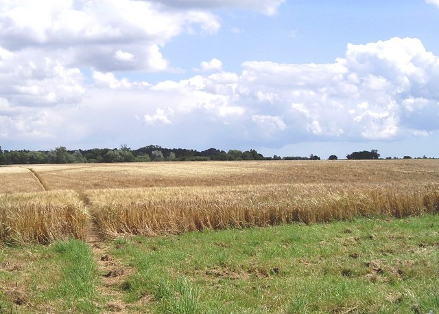
Image: © David Kemp Taken: 7 Jul 2007
The path through the ripening crop is the Essex Way footpath.
Images are licensed for reuse under creativecommons.org/licenses/by-sa/2.0
Image Location
Latitude
51.961088
Longitude
0.936083