Roman Road, Singlewell
Introduction
The photograph on this page of Roman Road, Singlewell by Dylan Moore as part of the Geograph project.
The Geograph project started in 2005 with the aim of publishing, organising and preserving representative images for every square kilometre of Great Britain, Ireland and the Isle of Man.

There are currently over 7.5m images from over 14,400 individuals and you can help contribute to the project by visiting https://www.geograph.org.uk
Roman Road, Singlewell
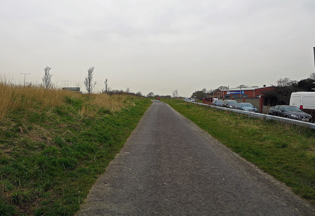
Image: © Dylan Moore Taken: 23 Mar 2016
Only a footpath. In the nineteenth century, the Watling Street here was only a byway, and disappeared altogether around Swanscombe. Between Dartford and Rochester, turnpikes took London-Dover traffic along the shore through Greenhithe and Gravesend.
Images are licensed for reuse under creativecommons.org/licenses/by-sa/2.0
Image Location
Latitude
51.411131
Longitude
0.375868