Above Munsbrough Lane
Introduction
The photograph on this page of Above Munsbrough Lane by Dave Dunford as part of the Geograph project.
The Geograph project started in 2005 with the aim of publishing, organising and preserving representative images for every square kilometre of Great Britain, Ireland and the Isle of Man.

There are currently over 7.5m images from over 14,400 individuals and you can help contribute to the project by visiting https://www.geograph.org.uk
Above Munsbrough Lane
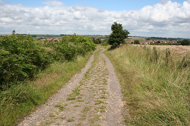
Image: © Dave Dunford Taken: 7 Jul 2007
Looking northeast towards Munsbrough Lane from the bridleway to the southwest; the tower of Greasbrough church (Image) is visible in the distance to the far right.
Images are licensed for reuse under creativecommons.org/licenses/by-sa/2.0
Image Location
Latitude
53.447515
Longitude
-1.374208