Loweswater Fells, from Lamplugh, 1966
Introduction
The photograph on this page of Loweswater Fells, from Lamplugh, 1966 by Ben Brooksbank as part of the Geograph project.
The Geograph project started in 2005 with the aim of publishing, organising and preserving representative images for every square kilometre of Great Britain, Ireland and the Isle of Man.

There are currently over 7.5m images from over 14,400 individuals and you can help contribute to the project by visiting https://www.geograph.org.uk
Loweswater Fells, from Lamplugh, 1966
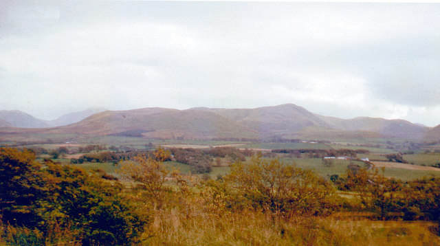
Image: © Ben Brooksbank Taken: 5 Oct 1966
View ENE from by Lamplugh Hall, to Blake Fell (highest at 1,880 ft.).
Images are licensed for reuse under creativecommons.org/licenses/by-sa/2.0
Image Location
Latitude
54.572258
Longitude
-3.41349