Beachley Road, and the Offa's Dyke Path leaving Chepstow
Introduction
The photograph on this page of Beachley Road, and the Offa's Dyke Path leaving Chepstow by Tim Heaton as part of the Geograph project.
The Geograph project started in 2005 with the aim of publishing, organising and preserving representative images for every square kilometre of Great Britain, Ireland and the Isle of Man.

There are currently over 7.5m images from over 14,400 individuals and you can help contribute to the project by visiting https://www.geograph.org.uk
Beachley Road, and the Offa's Dyke Path leaving Chepstow
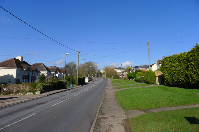
Image: © Tim Heaton Taken: 11 Feb 2016
The end of my approximately 108 mile walk from West Bay (much of it following the Monarch's Way) connecting the South West Coast Path to Offa's Dyke Path
Images are licensed for reuse under creativecommons.org/licenses/by-sa/2.0
Image Location
Latitude
51.646143
Longitude
-2.666501