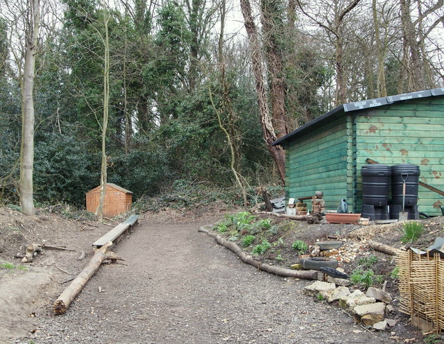
Shooter's Hill Environmental Centre, SE London
Introduction
The photograph on this page of Shooter's Hill Environmental Centre, SE London by David Hallam-Jones as part of the Geograph project.
The Geograph project started in 2005 with the aim of publishing, organising and preserving representative images for every square kilometre of Great Britain, Ireland and the Isle of Man.
There are currently over 7.5m images from over 14,400 individuals and you can help contribute to the project by visiting https://www.geograph.org.uk

Image: © David Hallam-Jones Taken: 20 Mar 2016
Behind a pair of metal gates off Constitution Rise a charity has been working part-time for the last 6-9 months to transform an overgrown 5 acre woodland site and pond into an outdoor learning centre for children. The site was once part of the grounds of a large house that was variously known as The Rookery, The Grove and Goodenough House during its life (c.1800-1936). The house was demolished (c.1936-38) to make way for an adjacent L.C.C. council housing estate on a large corner plot of land formed by the junction of Constitution Rise with Moordown.

