Canal Fields, Ettiley Heath (2)
Introduction
The photograph on this page of Canal Fields, Ettiley Heath (2) by Stephen Craven as part of the Geograph project.
The Geograph project started in 2005 with the aim of publishing, organising and preserving representative images for every square kilometre of Great Britain, Ireland and the Isle of Man.

There are currently over 7.5m images from over 14,400 individuals and you can help contribute to the project by visiting https://www.geograph.org.uk
Canal Fields, Ettiley Heath (2)
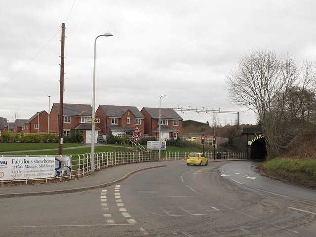
Image: © Stephen Craven Taken: 19 Mar 2016
An infill housing development built around 2014-5 between the canal and railway. See also Image See Image for the bone and manure works that previously occupied this "brownfield" site. To the right is the railway bridge seen from the other side in Image
Images are licensed for reuse under creativecommons.org/licenses/by-sa/2.0
Image Location
Latitude
53.139442
Longitude
-2.401779