Where The Rock once stood
Introduction
The photograph on this page of Where The Rock once stood by Graham Hogg as part of the Geograph project.
The Geograph project started in 2005 with the aim of publishing, organising and preserving representative images for every square kilometre of Great Britain, Ireland and the Isle of Man.

There are currently over 7.5m images from over 14,400 individuals and you can help contribute to the project by visiting https://www.geograph.org.uk
Where The Rock once stood
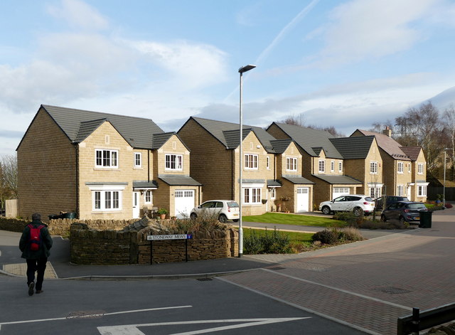
Image: © Graham Hogg Taken: 21 Mar 2016
On the site of the Rock public house, which closed in 2008 Image and was demolished in 2010 Image, there are smart new detached houses. A long walk to the nearest pub though.
Images are licensed for reuse under creativecommons.org/licenses/by-sa/2.0
Image Location
Latitude
53.491009
Longitude
-1.57659