Terraced houses, Church Drive, Port Sunlight
Introduction
The photograph on this page of Terraced houses, Church Drive, Port Sunlight by Graham Robson as part of the Geograph project.
The Geograph project started in 2005 with the aim of publishing, organising and preserving representative images for every square kilometre of Great Britain, Ireland and the Isle of Man.

There are currently over 7.5m images from over 14,400 individuals and you can help contribute to the project by visiting https://www.geograph.org.uk
Terraced houses, Church Drive, Port Sunlight
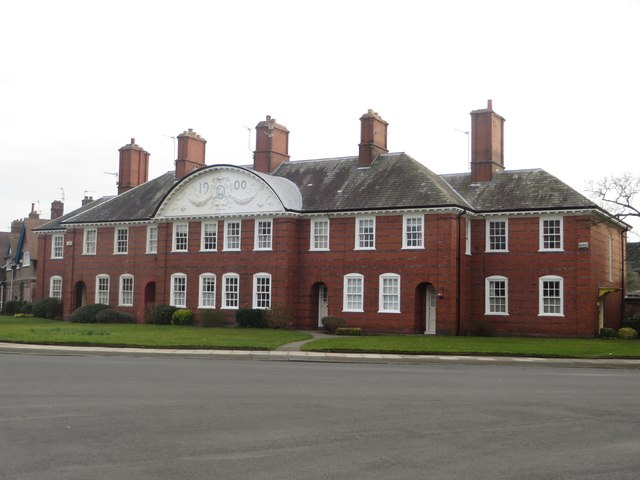
Image: © Graham Robson Taken: 12 Mar 2016
A block of terraced houses in Port Sunlight. The elaborately decorated pediment dates the building to 1900. The block is grade II listed. https://www.historicengland.org.uk/listing/the-list/list-entry/1300428
Images are licensed for reuse under creativecommons.org/licenses/by-sa/2.0
Image Location
Latitude
53.354741
Longitude
-2.997106