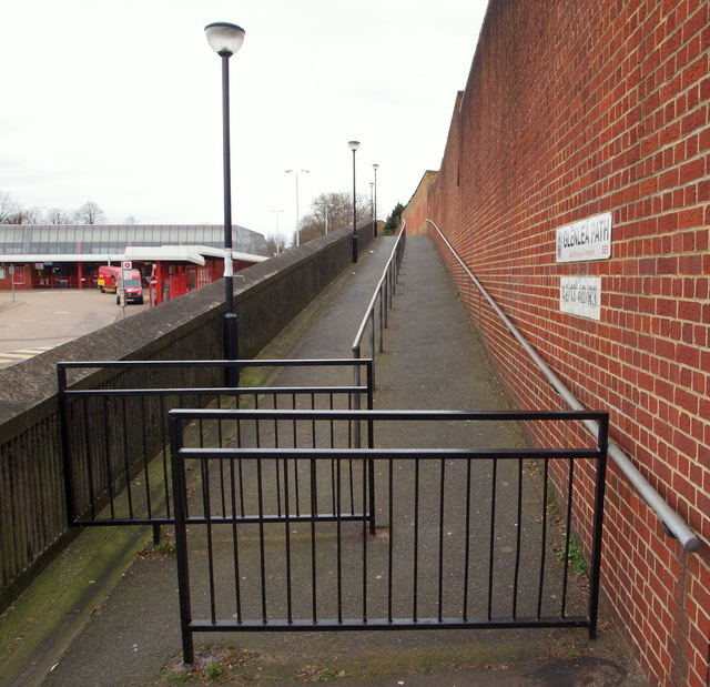
Glenlea Path, Eltham, SE London
Introduction
The photograph on this page of Glenlea Path, Eltham, SE London by David Hallam-Jones as part of the Geograph project.
The Geograph project started in 2005 with the aim of publishing, organising and preserving representative images for every square kilometre of Great Britain, Ireland and the Isle of Man.
There are currently over 7.5m images from over 14,400 individuals and you can help contribute to the project by visiting https://www.geograph.org.uk

Image: © David Hallam-Jones Taken: 20 Mar 2016
A raised footpath running parallel with Eltham Bus Station linking Well Hall Road, i.e. the A280, (immediately behind the photographer) with Glenlea Road 200 metres ahead. It is perhaps safe to assume that this thoroughfare was constructed at the same time as the bus station was built in 1985, to avoid pedestrians and cyclists having to compete with bus station traffic? The glass structure at the far end of the bus station is a part of Eltham Railway Station.

