Footpath across the former Worsbrough branch canal
Introduction
The photograph on this page of Footpath across the former Worsbrough branch canal by Christine Johnstone as part of the Geograph project.
The Geograph project started in 2005 with the aim of publishing, organising and preserving representative images for every square kilometre of Great Britain, Ireland and the Isle of Man.

There are currently over 7.5m images from over 14,400 individuals and you can help contribute to the project by visiting https://www.geograph.org.uk
Footpath across the former Worsbrough branch canal
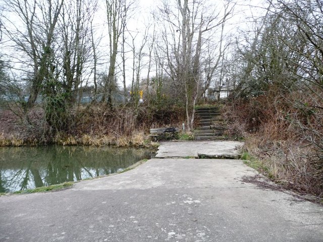
Image: © Christine Johnstone Taken: 19 Mar 2016
Created over a weir long after the canal fell out of use. The 2.5 mile long Worsbrough section of the Dearne and Dove Canal opened in 1804. It linked Worsbrough to the seaport of Goole. The branch closed for navigation in 1906 and was abandoned in 1961.
Images are licensed for reuse under creativecommons.org/licenses/by-sa/2.0
Image Location
Latitude
53.527146
Longitude
-1.465205